 |
| Mt. Bagang San Marcelino Zambales |
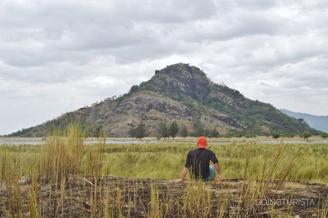
Mt. Bagang stands at 302 MASL in the midst of Sto. Tomas River in San Marcelino Zambales. A rocky hill west of Barangay Aglao, Barangay Buhawen, and east of Barangay Sta. Fe.
 |
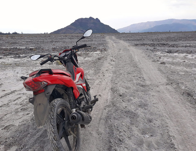
| Ready for a joyride to Kakilingan San Marcelino, Zambales |
Mt. Bagang is a beautiful background on top of Mt. Pimmayong and Tarudak Peak of Sta. Fe. In fact, no hikers or trekkers will ignore this inverted conical hill on their photo opportunities. My friends climbed Mt. Bagang a year ago and I got curious how the surroundings look like from above.
 |
| The bridge to Kakilingan and Barangay Sta. Fe |
 |
| There's Mt. Bagang |
Them Who Hiked Mt. Bagang (An Interview with Shiela)
Our friend Shiela attempted to climb Mt. Bagang's Peak together with her hiking buddies. It took them two hours to reach the base of the hill from their jump-off point at Hardwood Shooting Range in San Marcelino, Zambales. It would have been faster and easier for them to reach the hill if they started their trek at Barangay San Rafael passing the bridge to Kakilingan.
 |
| Boulders at Mt. Bagang |
Here's our interview with Shiela:
Ric: Shiela, What time did you start the trek to Mt. Bagang?
Shiela: The trekking started at 8:00 AM and we reached the foot of the hill at 10:00 AM.
Ric: How was your trekking through Sto. Tomas River?
Shiela: It was arduous! The lahar sand and the heat of the sun wasn't fun. There was some sort of quicksand along the way.
Ric: How long did it take you to get to the top?
Shiela: About forty minutes but we didn't make it to the peak. The highest point we reached was at the layer of the huge boulder visible from afar. It's a dead-end from there. We were almost on top anyway so it was fulfilling.
Ric: Do you think it is possible to reach the peak?
Shiela: Yes, but you need a rope and you need a person to take the rope to the top.
 |
| The Mt. Bagang Hikers |


Post a Comment
We appreciate your comments.